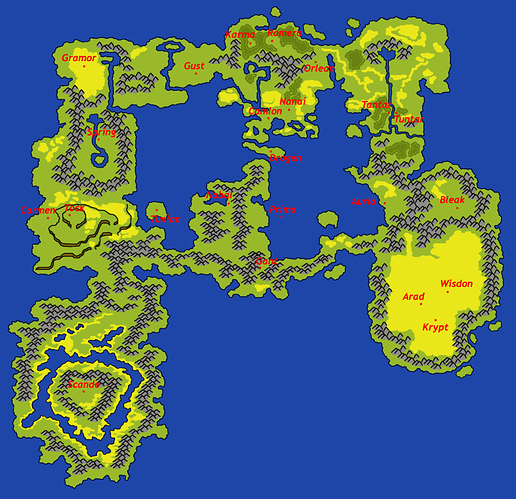
Post your maps here!
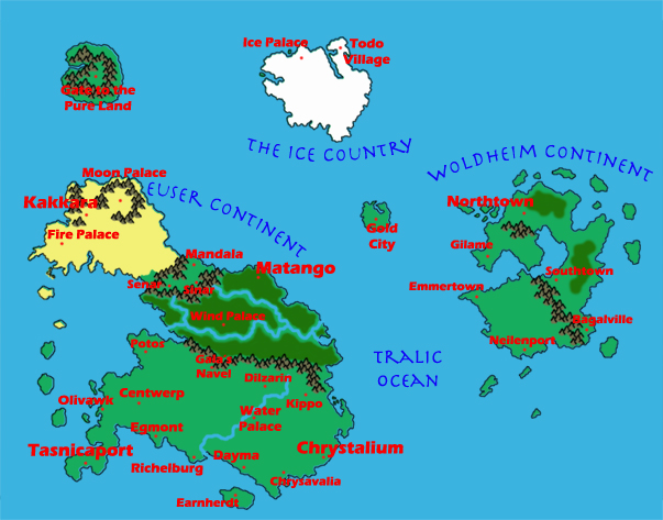
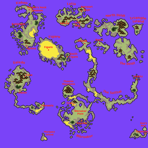
My rendition of the Mana Dimension. I didn’t mark national borders because… well, I sort of thought it was obvious. Most of the map is Tasnica, save for Kakkara (the desert region in the North Euser) and Pandora (East of the Reen river in South Euser).
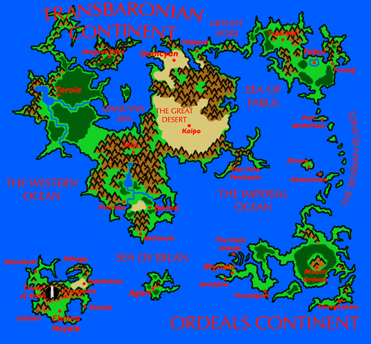
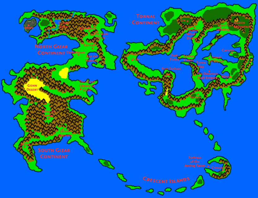
Light Dimension. The more I look at these maps the more I realize how our younger selves often didn’t understand the difference between a “sea” and an “ocean”
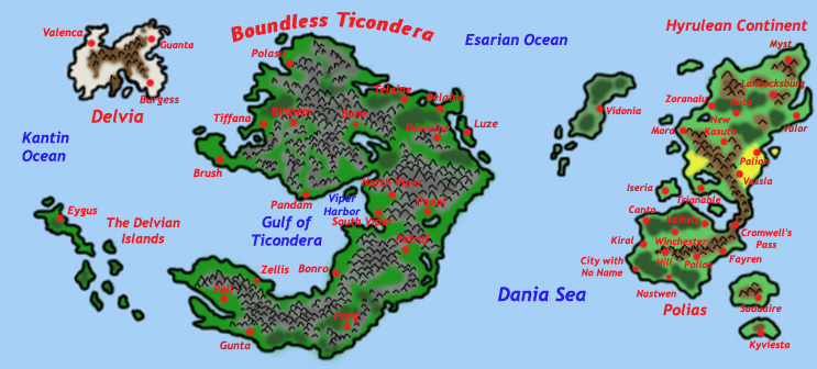
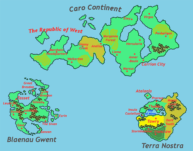
Carrion Dimension. This map is very, very rough and involved hybridizing several distinct maps into one unified whole for all of Carrion. Could probably stand to be re-done, along with detail maps for Blaenau Gwent and Terra Nostra
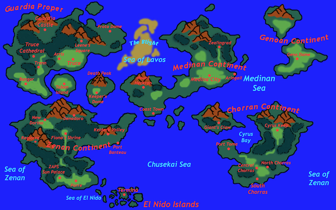
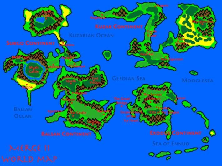
Alter-Dragon (Alter Dimension); product of hybridizing two maps along with assorted notes from Gabe and Nick
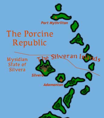
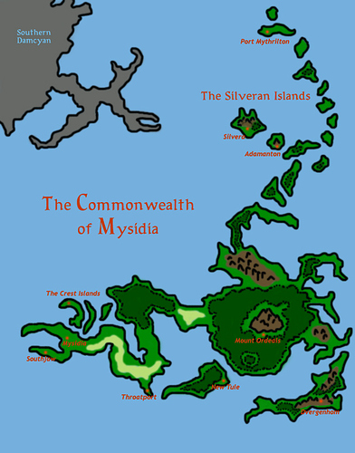
Silvera/Porcine Republic detail (Crystal) (I dunno why I felt a separate map for this was necessary)
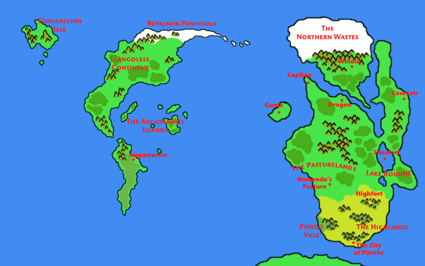
Dragon Dimension map. IIRC, this is the from-the-game template and Travis and I had plans to add more Kupop-centered locales
Oh man, these take me back.
For reference: Hosluftgrad is built on the bit between the Albrooker Plain and the Solthai. It’s like Istanbul; it spans the strait there and controls both sides, though now the southwestern part is controlled by Scande (and is later independent, by Reborn); the northeastern part was held by the EU.
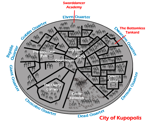
City of Kupopolis map. This is the entirety of what’s in the Kupopolis Dimension, and the city itself is massive. Note that this map represents pre-Great War Kupopolis; during the Great War, there is a bit of strife as the residents of the Goblin quarter violate the city’s neutrality and launch a coup in the name of the Dark Gods. Post-Great War, this part of the city becomes the Nu Quarter.
…is Castle Zarovich, like.
Ravenloft?
